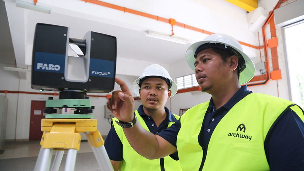
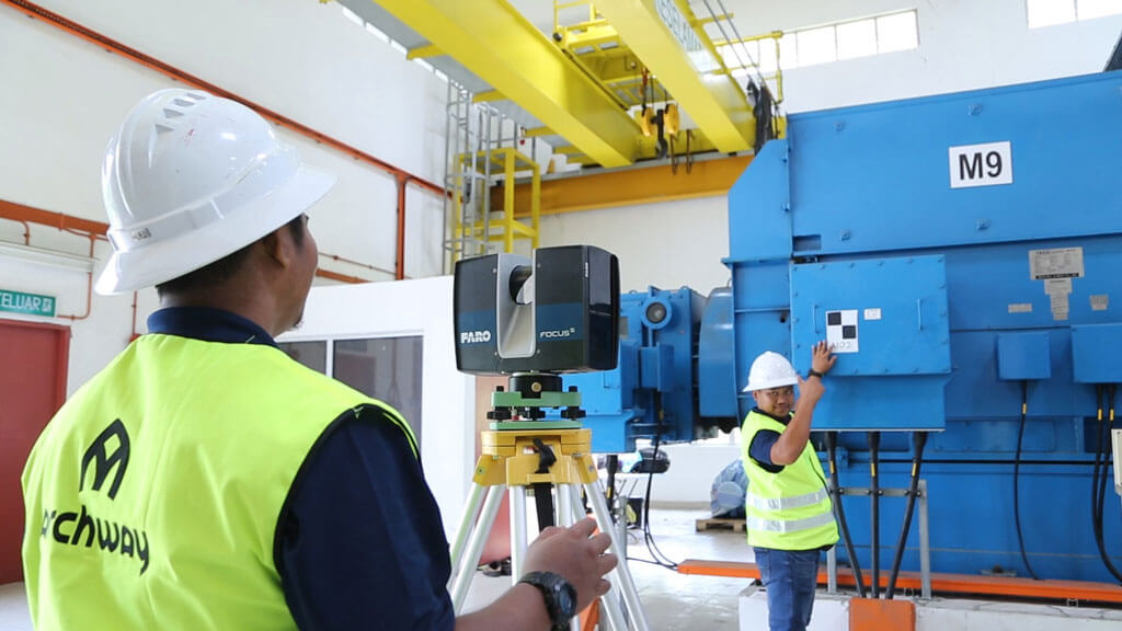
3D Laser Scanning/Terrestrial Laser Scanning (TLS)
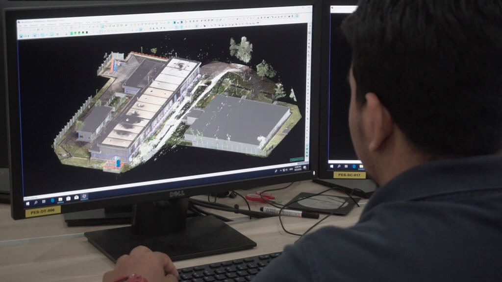
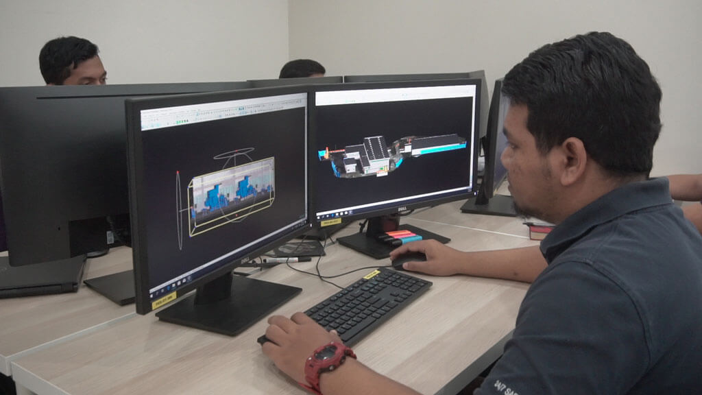
3D Laser Scanning is the process of scanning the dimensions and structure using a 3D Laser Scanner. A 3D Laser Scanner is a device that is used to collect huge amount of as-built data in a short period of time. The raw data from the 3D laser scanner is known as a point cloud. By utilizing specialize software; the point cloud can be converted into 3D as-built Model representation of the actual existing site conditions which can be integrated with various design CAD software; and used for clash check, routing of new piping system, placement of new equipment, removal sequence of large equipment and etc.
The benefits of 3D laser scanning technology include the following:-
- Reduced engineering design schedule
- Risk mitigation
- Maximize field productivity and reduced shutdown time
- Eliminate re-work and minimize the hot work at site
- Improved project schedule
Terrestrial Laser Scanning is the process of capturing data which include Contour, Height, Level etc using a Laser Scanner.
3D Laser Scanning/Terrestrial Laser Scanning (TLS)
3D Laser Scanning is the process of scanning the dimensions and structure using a 3D Laser Scanner. A 3D Laser Scanner is a device that is used to collect huge amount of as-built data in a short period of time. The raw data from the 3D laser scanner is known as a point cloud. By utilizing specialize software; the point cloud can be converted into 3D as-built Model representation of the actual existing site conditions which can be integrated with various design CAD software; and used for clash check, routing of new piping system, placement of new equipment, removal sequence of large equipment and etc.
The benefits of 3D laser scanning technology include the following:-
- Reduced engineering design schedule
- Risk mitigation
- Maximize field productivity and reduced shutdown time
- Eliminate re-work and minimize the hot work at site
- Improved project schedule
Terrestrial Laser Scanning is the process of capturing data which include Contour, Height, Level etc using a Laser Scanner.