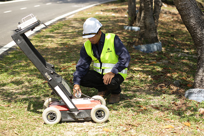
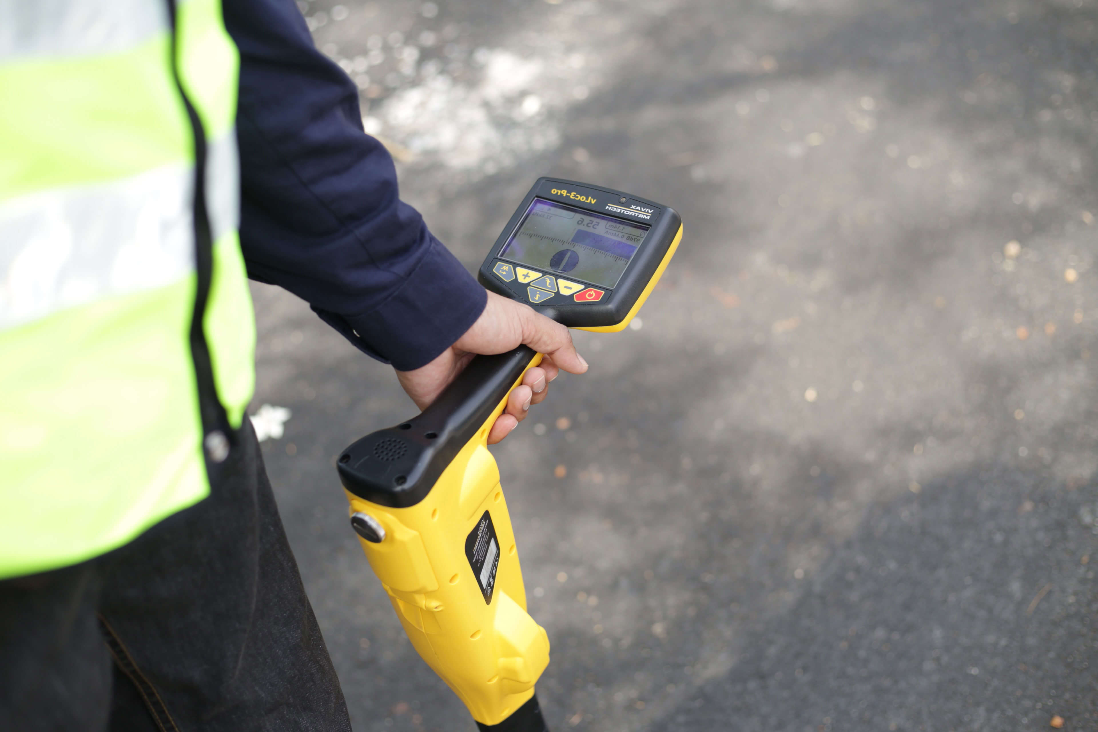
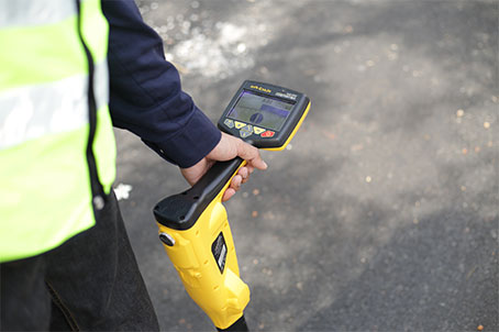
Underground Detection and Mapping (UDM)
Underground Detection and Mapping (UDM) is the work process to detect and identify utility pipelines/cables which are located underground and illustrating it into a UDM Plan. Underground Detection is conducted using various methods and equipment including Ground Penetrating Rada (GPR), Radio Frequency Locator (RFL) and Global Positioning System (GPS). A UDM Plan is used as a reference for utility providers in order to give them a safe clearance during trenching works to lay new pipelines/cables. This is to avoid any incidence of existing cable violations which may result in financial and physical losses.
Besides that, a UDM Plan is also used to maintain a complete database of existing utilities which are located on Roade Reserves of Right of Way (ROW). Underground Detection is also used to produce As-Built Plans to illustrate the exact location of newly laid pipelines/cables.
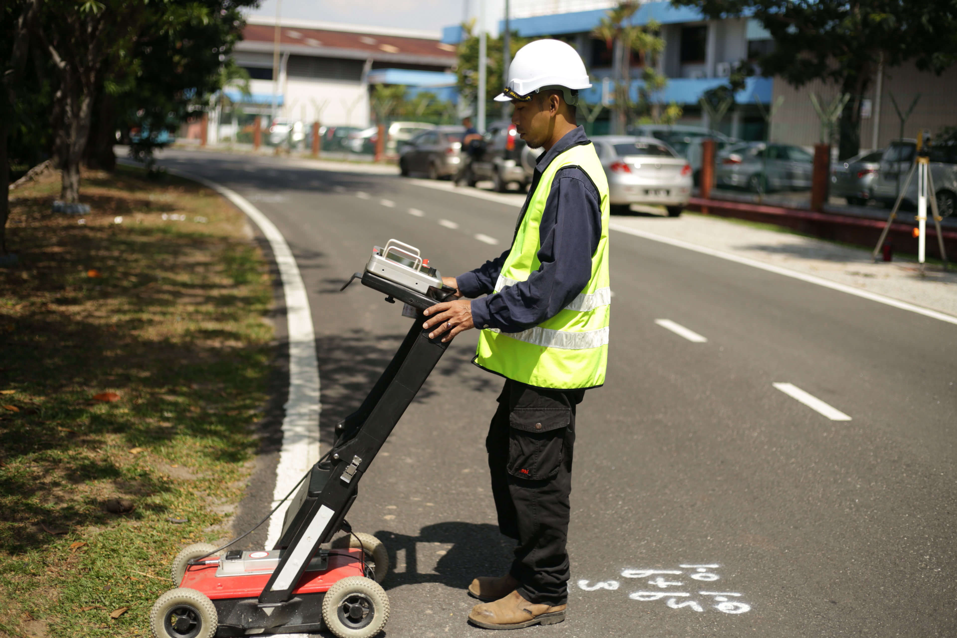