
Geospatial Web Based Program and Application Development
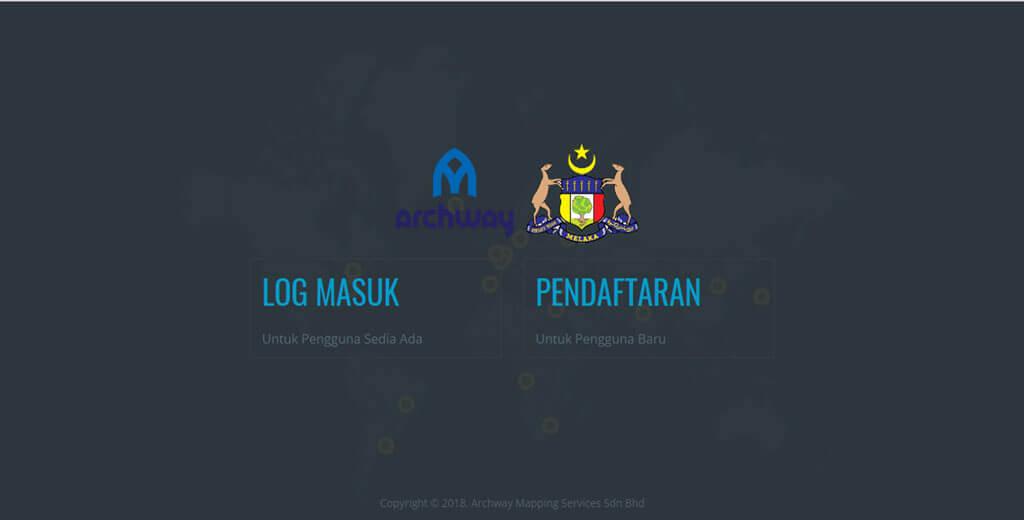
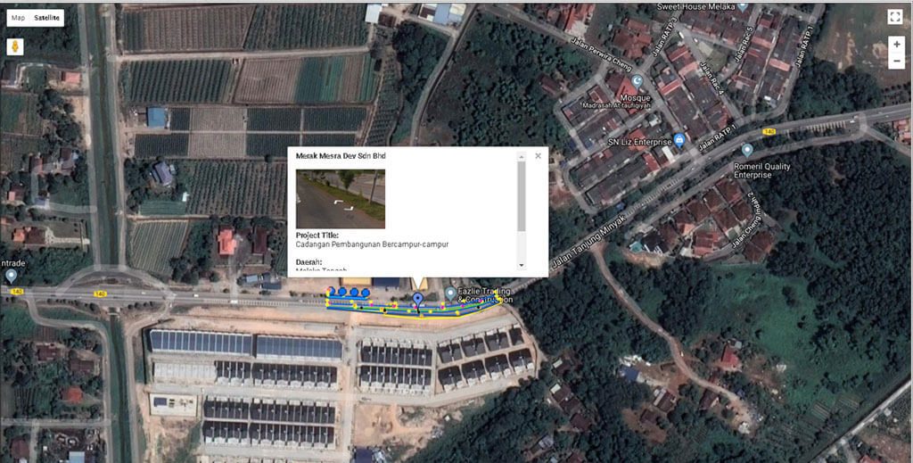
We possess the ability to develop web based programs and applications related to Geospatial Data. This has been done with the introduction of the Geospatial Utilities Management System (GUMS) for the State of Melaka. GUMS is a web based online portal which consist of data pertaining to Underground Utilities which are located in the whole state of Melaka.
The system allows Approving Authorities, Governing Bodies and Local Councils to know and view existing underground utilities which are located on their reserves. The information is accessible at real time and can be viewed during site visits in order to organize and coordinate the utilities and infrastructure system.
This can help overcome the problems of areas with highly congested utility lines and overcome the problem of road damages caused by unorganized and recurring trenching works.
Geospatial Web Based Program and Application Development
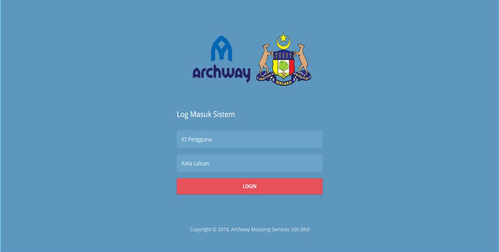
We possess the ability to develop web based programs and applications related to Geospatial Data. This has been done with the introduction of the Geospatial Utilities Management System (GUMS) for the State of Melaka. GUMS is a web based online portal which consist of data pertaining to Underground Utilities which are located in the whole state of Melaka.
The system allows Approving Authorities, Governing Bodies and Local Councils to know and view existing underground utilities which are located on their reserves. The information is accessible at real time and can be viewed during site visits in order to organize and coordinate the utilities and infrastructure system.
This can help overcome the problems of areas with highly congested utility lines and overcome the problem of road damages caused by unorganized and recurring trenching works.